-->
Etang de Bellonguère - Etang de Bethmale
Altitude 1894 m - Superficie 0.6 ha - Profondeur ?
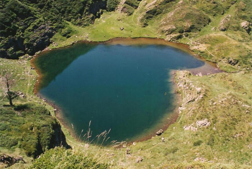
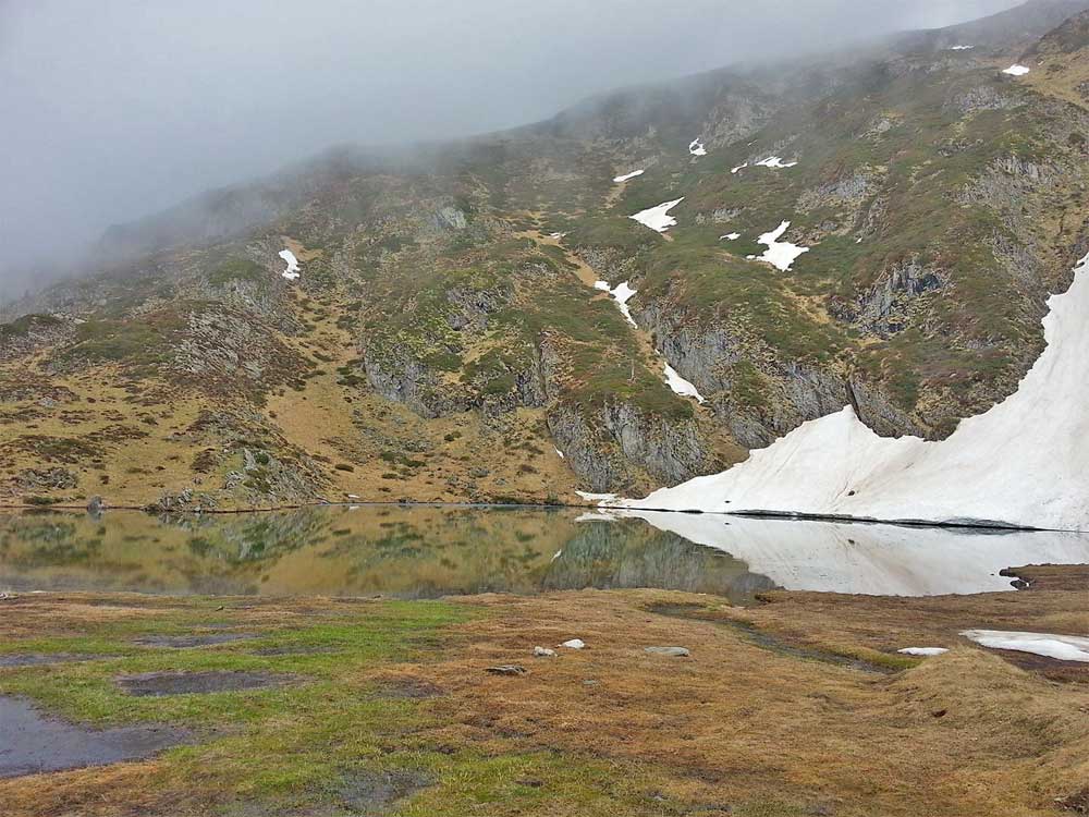
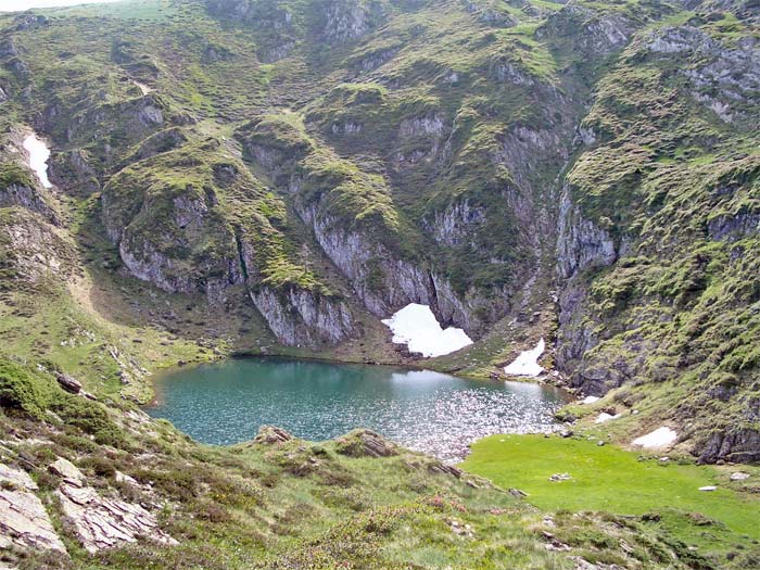
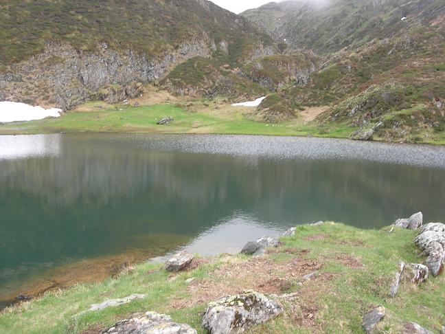
L'étang d' Eychelle 1894 m et 0.6 ha, situé à l'Est du Tuc de la Seube 2096 m
Randonnée Etang d'Eychelle
:
Carte IGN Topo Map GPX Vue satellite
Départ : Col de la Core 1395 m ou étang de Bethmale 1074 m
Massif : Tuc d'Eychelle 2315 m - Tuc de la Seube 2096 m
Parcours :
Montée 1h30 -
GR 10
Sujets forum : Etang d'eychelle - Etang d'Eychelle 03-06-2008 -
 Amazon
Aliexpress
Etang d'Eychelle

photo 2016 d'après jimySaintO
Etang d'Eychelle

photo Novembre 2016 d'après Stéphan Peccini
Etang d'Eychelle

photo 13 Mai 2017 d'après Aymeric Galy
Etang d'Eychelle

photo juin 2005 d'après Olivier ALLAIS
Etang d'Eychelle

photo juin 2008 d'après Simon09200
Autres photos:
Si vous connaissez des informations sur ce lac ou pour publier une photo:
écrivez-nous - merci
Video / Panorama :


